High-Resolution Drone Surveying & Mapping Solutions
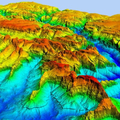
High-accuracy elevation models for topographic mapping, drainage planning, and infrastructure development.
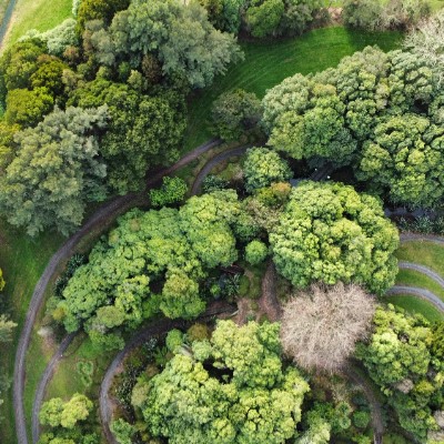
High-resolution UAV orthomosaic mapping with accurate georeferencing for land surveying and monitoring.
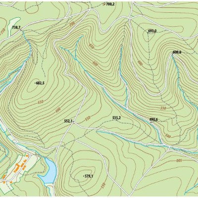
Accurate contour mapping at customizable intervals for terrain analysis and construction planning.
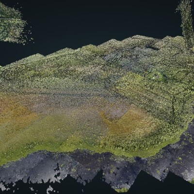
Dense and precise 3D point cloud generation in LAS/LAZ formats for modeling and advanced GIS applications.