Precision Elevation Intelligence for Advanced Infrastructure
Precise LiDAR terrain matching to align and validate elevation data with existing survey or design datasets.
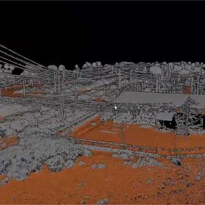
Accurate LiDAR ground classification separating bare earth from vegetation, buildings, and other features.
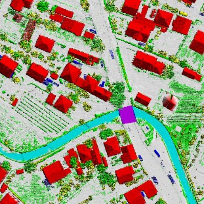
Detailed advanced LiDAR classification of buildings, power lines, vegetation, roads, and utilities.
LiDAR-based telecom planning for tower placement, line-of-sight studies, and 5G network optimization.
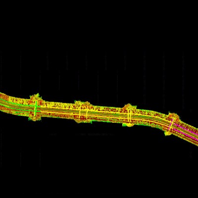
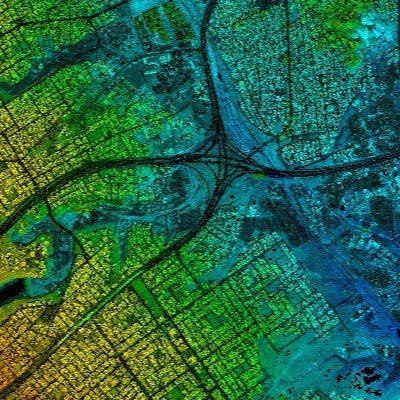
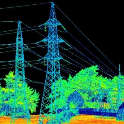
High-resolution LiDAR corridor mapping for roads, railways, pipelines, and transmission lines.